
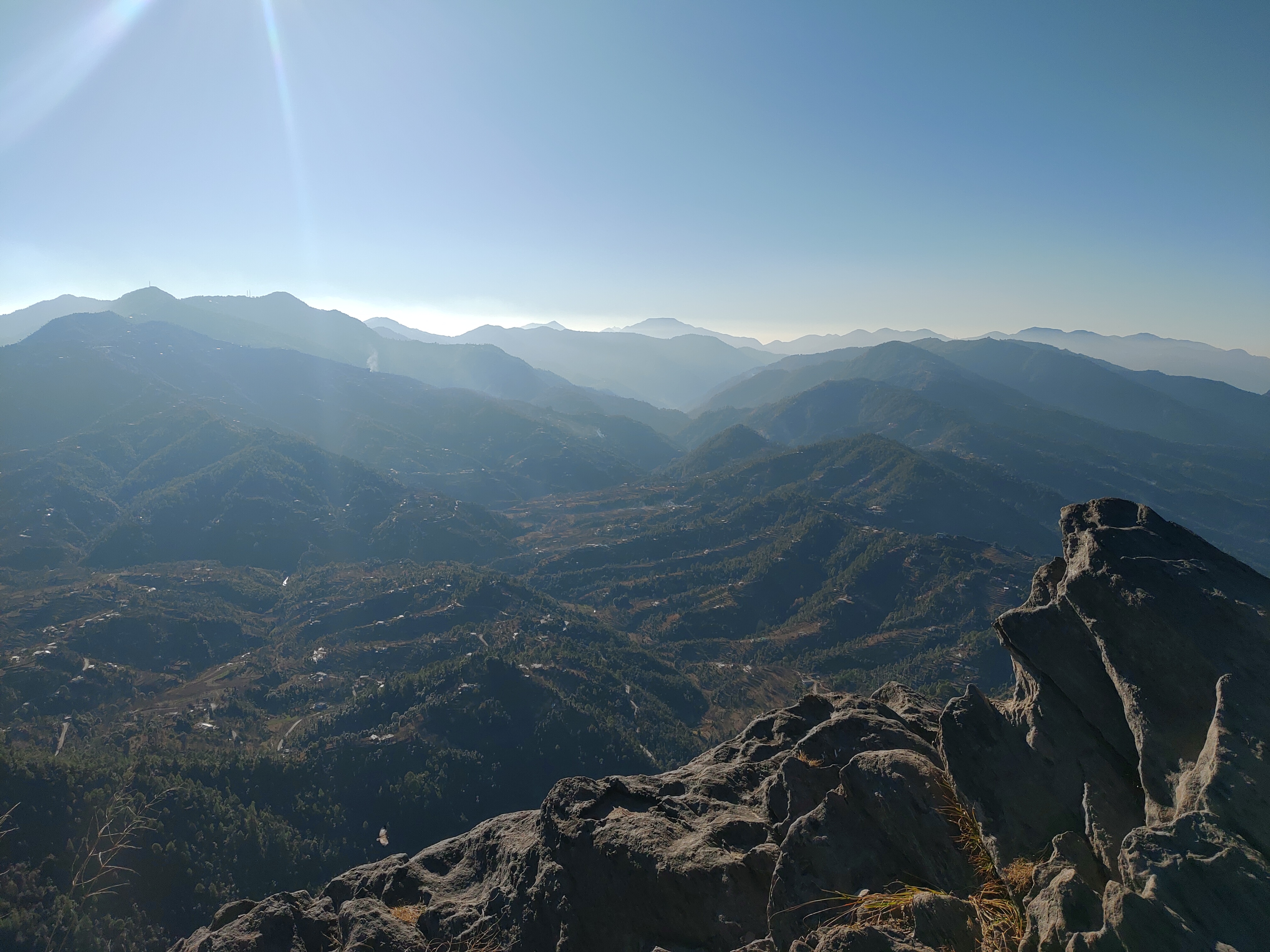
Mukteshwar is a village at 2,171 m in Nainital district, 51 km from Nainital and 72 km from Haldwani. It has one of the widest views in Kumaon and one of its oddest rock formations.
Mukteshwar Dham
The village takes its name from the Mukteshwar Mahadev temple, an old Shiva shrine on the highest point of the ridge. The temple is small and plain, and the terrace around it looks straight down the Kumaon foothills to the plains — on a clear day you can see the Ramganga valley and, in the far distance, the haze over the Terai.
Chauli Ki Jali
A short walk from the temple is Chauli Ki Jali — "the hole in the rock" — a cliff edge of eroded rock with natural openings through it. It is a viewpoint, a picnic spot and, in season, an adventure-sport site: the cliff is used for rappelling and ziplining, and the ridge above Mukteshwar is one of the better paragliding launches in the region.
The ridge
Mukteshwar's ridge runs roughly north–south and is lined with orchards — apple, plum, peach and apricot — and with deodar and oak. It is a fruit-growing area, and the roadside stalls in season sell what was picked that morning.
Getting there
Mukteshwar is reached from Nainital via Bhowali and Ramgarh (51 km) or from Haldwani via Bhimtal (72 km). The road is good for most of the year; in heavy monsoon, landslides can close sections. There is no railway; Kathgodam is the nearest station.
When to go
October to June is the season. Winter brings snow and clear peaks; the monsoon is green but wet and the views close in.
Sources & further reading
Compiled from the following public sources. Verify details with the source before relying on them for travel.
Lead photograph: Wikimedia Commons


